
Arlington Heights Block Lookup Sources
A block is a stack of boundaries, not one official resident list. The street segment, parcel, subdivision, precinct, census block, ZIP label, and neighborhood group may draw different edges. Choose the source that answers the exact question. Recorded owners are not automatically occupants, and public election tools do not expose everyone living nearby.
| Source | What It Shows About a Block | Access |
|---|---|---|
| CookViewer | Parcel outlines, PINs, addresses, nearby results, historic layers | Public map with report export |
| Cook Assessor | Parcel class, value, characteristics, exemptions, appeals | Address or PIN form with CAPTCHA |
| Property Tax Portal | Address, PIN, and five-year billed-tax status | Public street, unit, city, ZIP, or PIN form |
| Clerk recordings index | Deeds, easements, plats, parties, dates, legal descriptions | Public index; some images require another route |
| Village map and FOIA | Street, boundary, plat, permit, planning, and project context | Public files or focused request |
| HANA and Northgate | Organization-stated civic geography and history | Public group pages, not legal boundary files |
| AHML directories | Historic address-to-name street sequence | Library, microfilm, and digital collection |
For a present block, start with CookViewer. For past neighbors, add a dated directory. For a whole named street rather than the immediate area, use the Arlington Heights street directory workflow.
Map Arlington Heights Nearby Parcels
The CookViewer parcel map accepts an address or PIN. Select the source parcel before running nearby search or property comparison. If a precise parcel is not selected, an address result can show properties within roughly 100 feet. Confirm the PIN before connecting a deed or owner to the point.
The parcel screen below is the main geographic tool for an Arlington Heights neighbor lookup.
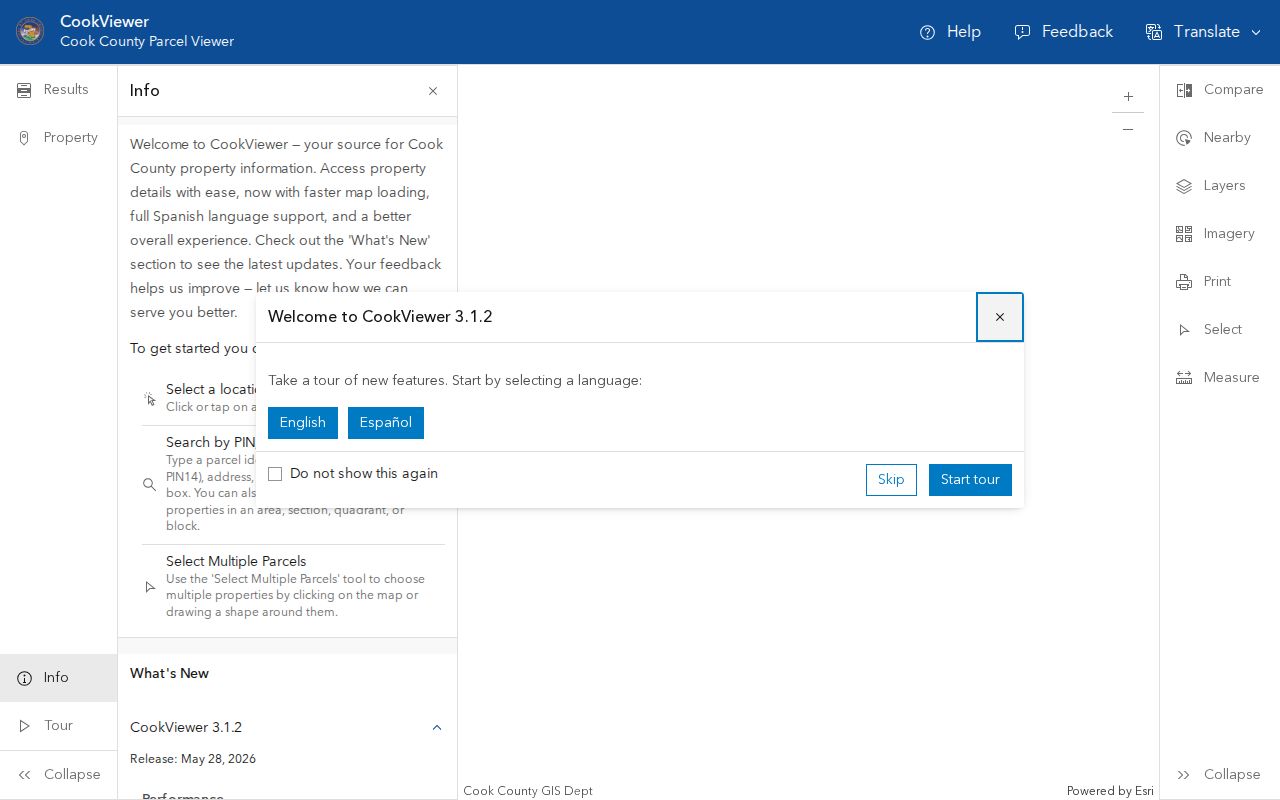
Its nearby controls turn one verified parcel into a dated inventory of surrounding lots without claiming who is inside a building.
Historical layers can help when today's parcel edges do not match an older plat or directory sequence. Save the map release date and export date with the result. A parcel split, consolidation, street extension, or annexation may explain why an adjacent address appears to shift between sources even though the underlying land has not moved.
- Search the full address and verify its street direction, parcel shape, and PIN.
- Select that parcel as the anchor, then use a small nearby radius.
- Record each returned PIN and address. Increase the distance only when the block shape requires it.
- Open county property details for each parcel and keep owner and mailing fields separate from occupancy.
- Export a titled map or report with its release date and note any unresolved edge.
Arlington Heights Deeds Around You
A deed search can explain shared plats, easements, dedications, vacations, and other recorded events that connect nearby lots. The Cook County recording search guidance describes searches by PIN and indexed party.
The county guidance provides the official path from a mapped parcel to recorded detail.
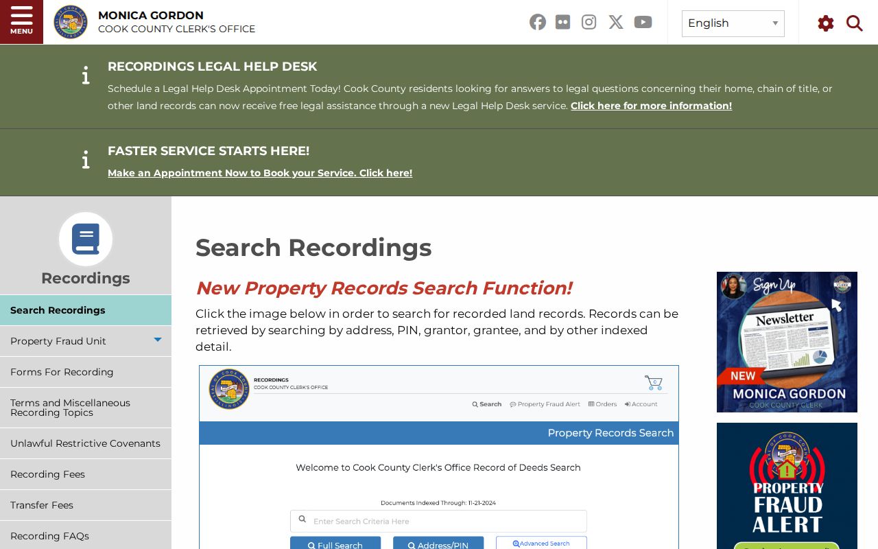
Carry each neighboring PIN from CookViewer into the index instead of relying on similar street numbers.
The Clerk advanced recordings search adds indexed-detail controls.
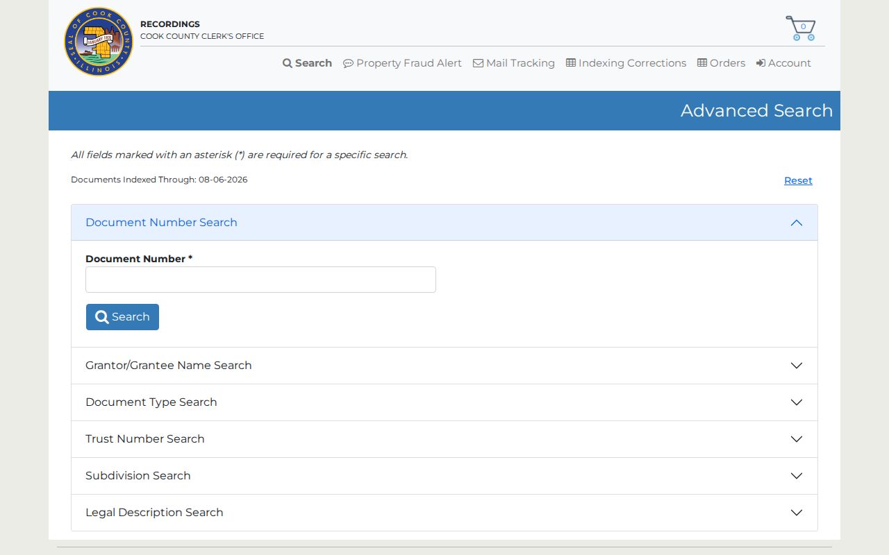
Document type, recorded date, legal description, and party role can explain a block relationship, but none of those fields alone establishes present residence.
HANA's Arlington Heights Neighbors
The Historic Arlington Neighborhood Association describes an early settled area directly north of the central business district. Established in 1980, HANA reports about 600 households and a focus on civic awareness, neighborhood character, history, and community spirit.
HANA's page supplies a human-scale, dated account of the historic core.
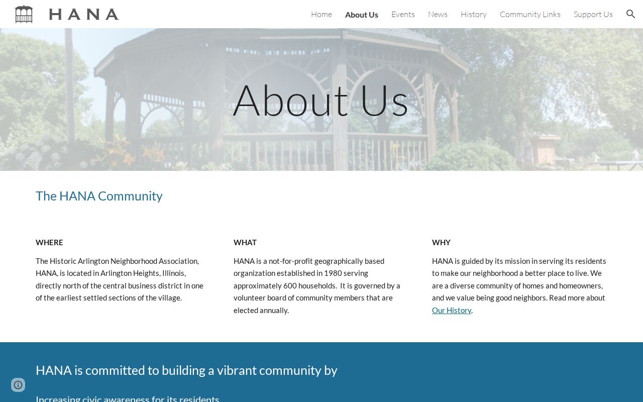
Use that description as organization geography. It is not a Village ward, parcel layer, census boundary, or current member roster.
A planning packet can mention HANA in a project or historic-site context, but its boundary applies to that dated project. Research found no official Village-wide association boundary index. Compare any group statement with parcel geometry and the Village street map.
Northgate Frames Arlington Heights Blocks
The Northgate Civic Association gives a clear four-road frame: Hintz Road on the south, nearly Dundee Road on the north, Buffalo Grove Road on the east, and Arlington Heights Road on the west. Its site also provides current meeting material and civic-history context linked to Centennial Park.
The association page below shows how Northgate describes its part of Arlington Heights.
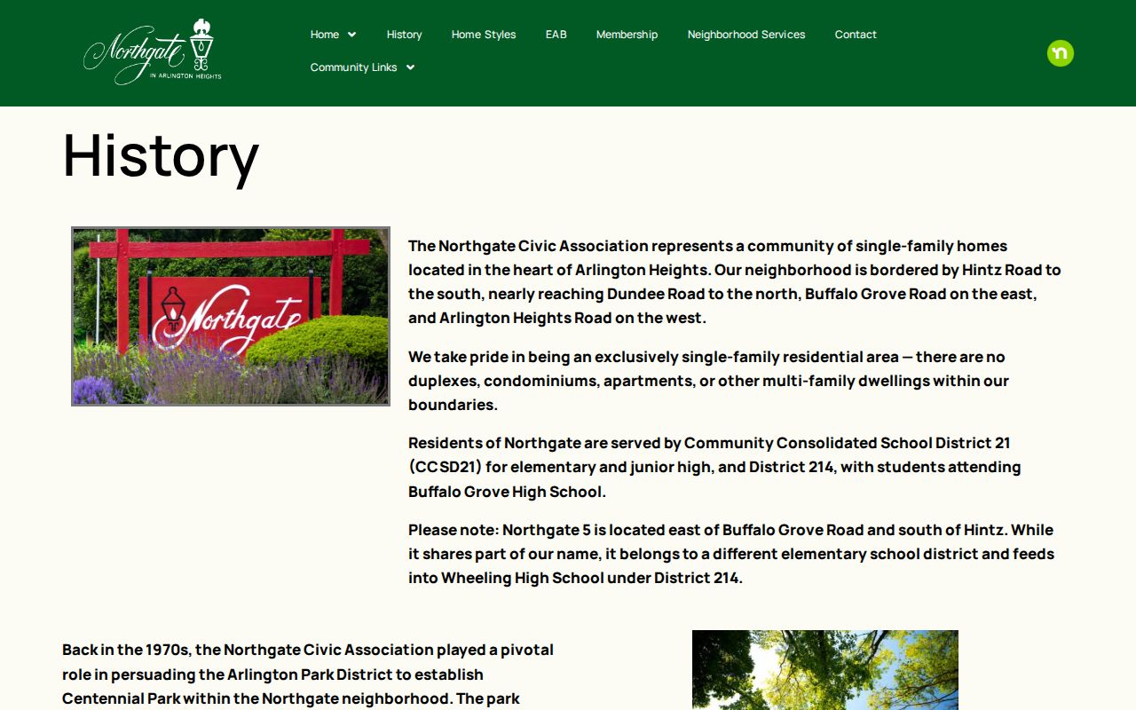
That four-road description is more useful for civic context than a guessed neighborhood name, but it must be dated and should not be treated as a legal district.
HANA and Northgate publish geography and community information, not public member directories. No umbrella roster of all Arlington Heights neighborhood associations was verified. Private club, congregation, or block-watch membership should not be requested or reconstructed.
Arlington Heights Blocks Have Layers
Postal, parcel, Village, census, election, and association boundaries disagree by design. A ZIP code routes mail. A parcel map fixes a tax and land-record unit. A census block supports statistics, while a precinct organizes elections. A civic association states the area it serves. None is a substitute for the others.
| Layer | Stable Clue | Key Limit |
|---|---|---|
| Parcel | PIN and geometry | Can split or combine |
| Street | Name, direction, number, parity | May be renamed or extended |
| Subdivision | Plat, block, and lot | Not a civic-group boundary |
| Precinct | District and polling geography | Changes over time |
| Neighborhood | Dated group statement | Not a legal resident roll |
| ZIP | USPS delivery result | Not the Village limit |
Arlington Heights address logic adds another check. The municipal code uses Campbell Street as the north-south baseline and Dunton Avenue as the east-west baseline, with 800 numbers per mile and parity rules. That system can test an odd old number before it is attached to neighbors or a parcel.
Voter Data Is Not Neighbors
The Illinois public voter lookup requires a first name, last name, birth date, ZIP, and prompted address controls. It does not offer a public command to show all registered voters on an Arlington Heights block. County and statewide voter files are restricted to eligible political organizations and uses, with sensitive fields withheld.
Use official election geography for precinct or district context, not a copied roster. A registration response confirms only what that exact authorized search returns. It should never be stretched into a claim about other occupants, family members, or every person at an address.
Note: A parcel owner, registered voter, postal addressee, and current occupant can be four different people.
Village Files Explain Arlington Heights Blocks
When a plat, street extension, permit, zoning action, or planning record explains the block, use the Village of Arlington Heights FOIA process. A narrow request should give the address or parcel, record type, and date range.
The Village page below identifies the official records-request channel.
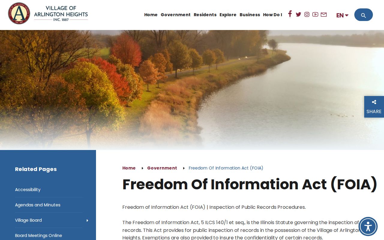
FOIA can fill a documented gap, but exemptions and custody still apply. Ask for records, not a newly compiled list of neighbors.
Historic neighborhood work may also use the AHML directory and criss-cross collection. A dated street sequence can show who was listed nearby, while modern GIS tests whether the old lots still match today's block.
Official Arlington Heights Neighbor Records
Commercial neighbor tools combine property data, old directories, marketing files, and address histories. Their reports may charge a fee, merge people with similar names, or retain stale links. Official sources have narrower fields, but they state who holds the record and what event produced it.
| Source Type | Best Use | Main Caution |
|---|---|---|
| County parcel and deed systems | Geometry, recorded owner, land event | Not proof of occupancy |
| Village and library records | Permits, plats, dated local history | Coverage varies by collection |
| Neighborhood group pages | Civic geography and history | No legal boundary or member roll |
| Commercial compiled reports | Possible lead only | Unknown age, merges, and errors |
For Arlington Heights neighbors, a small set of dated official facts is safer than a large compiled profile. Verify an important fact with the custodian that created it.
Protect Your Arlington Heights Neighbors
What remains private includes household members absent from a public record, non-owner occupants, utility and delivery customers, sealed court or vital material, motor-vehicle address data, and people protected through the Illinois Address Confidentiality Program. Parcel geometry does not reveal who is inside a home.
Lawful use. Use neighbor records for civic curiosity, reconnecting, property questions, and personal safety awareness. Never watch, harass, threaten, or expose a protected person.
Keep a block inventory factual: source, access date, PIN, address, document number, structure clue, directory year, organization statement, and unresolved edge. That format respects your neighbors while preserving the useful civic and historical record.