
Arlington Heights ZIP Coverage
Three postal codes are strong Arlington Heights leads, while a fourth belongs here as a processing and adjacency edge case. None is a legal Village polygon. USPS scheme tables group mail for sorting, and a postal city name can remain in use across municipal lines. For a real address, the exact USPS result should be compared with CookViewer and the Village boundary.
| ZIP Code | Areas Covered | Post Office | Notes |
|---|---|---|---|
| 60004 | Arlington Heights delivery-area lead | Arlington Heights label group | Exact street coverage requires address lookup |
| 60005 | Arlington Heights delivery area | 909 W Euclid Ave, 60005-9998 | Strong current post-office evidence |
| 60006 | Postal scheme and PO-box-related lead | Arlington Heights label group | Verify delivery type and address |
| 60008 | Adjacent processing edge case | Rolling Meadows label in 2020 table | Not proof of Village residence |
The 2025 USPS FAST list groups 60004 through 60006 and 60008 under an Arlington Heights 60005 container label. That describes mail processing, not the homes inside the Village. Nearby 60056 and 60090 appeared in regional lists but were not verified as Arlington Heights delivery ZIPs. They should enter this directory only after an exact address lookup.
Even the strongest label needs a date. The research found an official USPS location example at 909 W Euclid Avenue with a 60005-9998 result, but one confirmed post office cannot define every address served by 60005. Likewise, 60006 may appear in a scheme or box-related context without describing the same kind of street delivery as 60004. Keep the five-digit code, ZIP+4, street address, and source date together. That lets a later reader repeat the check when postal routes or preferred city names change.
Arlington Heights Postal Geography
A ZIP code is a USPS delivery tool. Arlington Heights is a municipal boundary; a Cook County PIN identifies a parcel; a census block is statistical; and a neighborhood association draws a community area. These layers disagree by design because each serves a different purpose. The USPS ZIP basics page explains that ZIP boundaries need not follow municipal lines.
The official basics screen below supports the key rule of the ZIP code directory: never infer legal residence from a postal label alone.
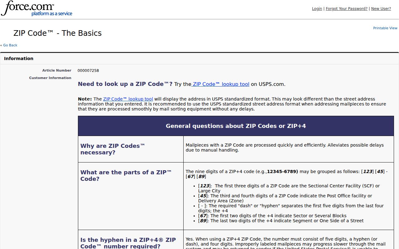
Use the postal result for delivery, then test Village status with the parcel map.
Boundary check. A postal city, parcel municipality, census place, and neighborhood name may all differ without any source being wrong.
Verify an Arlington Heights ZIP
The USPS ZIP Code Lookup asks for an exact street address, city, and state. It returns the delivery ZIP and ZIP+4 for that address. The city-and-state route helps locate candidates, but exact-address mode is stronger when a parcel is already known.
The captured lookup page shows the correct official starting point.
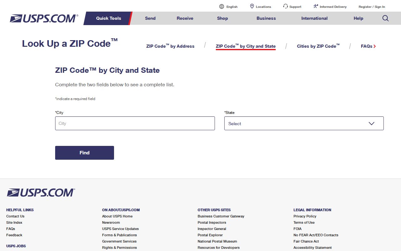
Record the returned ZIP+4 and access date before carrying the address into Cook County tools.
Arlington Heights ZIP Scheme Clues
USPS bulletins show why dates matter. A 2001 scheme grouped 60004 through 60006 under Arlington Heights. A 2014 table included 60004, 60005, 60006, and 60008 in an Arlington-area context. The 2020 Postal Bulletin lists 60004 with Arlington Heights, while one row labels 60008 as Rolling Meadows. These are sorting references, not resident counts.
The bulletin capture below preserves that dated context.
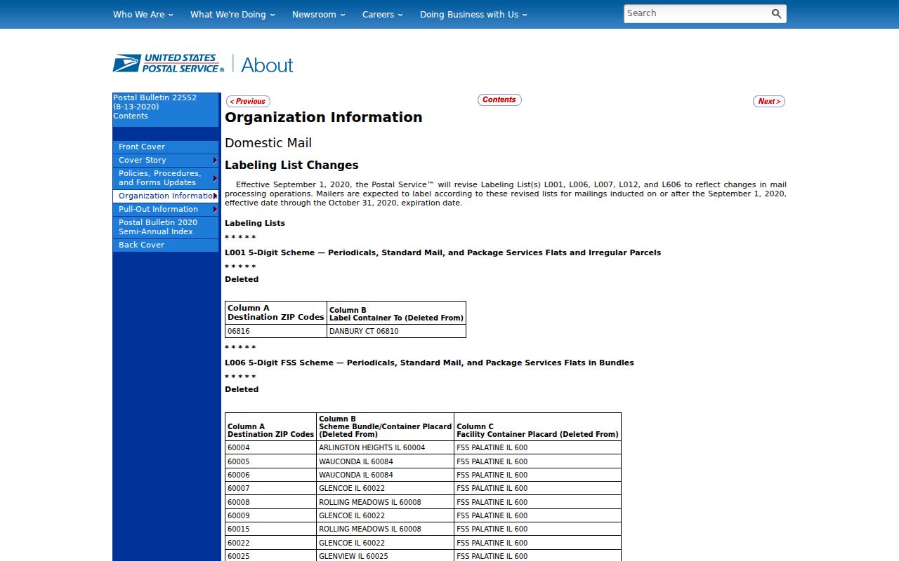
A historical scheme row can explain an old label, but it cannot draw today's corporate boundary.
Search Arlington Heights by ZIP
Only some official systems accept a ZIP. The Cook Property Tax Portal uses street, unit, city, and ZIP, with a five-part PIN as an alternative. The Illinois voter lookup uses ZIP inside an exact-match sequence. I-CASH accepts a city and ZIP as name-search filters. The Assessor form and CookViewer do not expose a general ZIP filter, so the PIN becomes the bridge.
- Enter the exact address at USPS and save its ZIP+4.
- Search the Cook Property Tax Portal with street, unit, city, and ZIP, then record the PIN.
- Carry the PIN to the Assessor and CookViewer to compare parcel and Village geography.
- Use a ZIP only within the exact-match voter form or another authorized portal workflow.
Once the postal area narrows to a street, the Arlington Heights street directory provides the address-first parcel and deed workflow. A ZIP-wide list should never be manufactured from name-only results.
The sequence also prevents false merges. The Property Tax Portal may return a parcel and five years of tax history, but its mailing contact is not necessarily an occupant. The Assessor supplies characteristics, sales, permits, exemptions, and appeal fields tied to the parcel. CookViewer tests the geometry and municipal context. A voter response is limited to the exact person whose full inputs were supplied. Keep those roles apart, and use the ZIP code directory to narrow geography rather than turn unrelated public fields into a household claim.
Arlington Heights ZIP Search Fields
The systems below treat ZIPs in different ways. Read the field in context before calling it proof of local residence.
| Official portal | ZIP control | Other inputs | Best use |
|---|---|---|---|
| USPS lookup | Returned result | Street, city, state | Delivery ZIP |
| Cook Property Tax Portal | Yes | Street, unit, city, or PIN | Address-to-PIN link |
| Illinois voter lookup | Required | Name, DOB, then street | Exact registration check |
| I-CASH | Optional filter | Name, city, property ID | Unclaimed-property lead |
| Assessor | No visible ZIP field | House, street, city, PIN | Parcel facts |
The voter form is not a public ZIP roster. Its first name, last name, birth date, ZIP, and conditional address controls are designed to resolve one exact registration response. The Property Tax Portal is the more practical ZIP-to-PIN bridge for an address.
Arlington Heights ZIP Record Requests
No official static polygon proving the exact overlap between every ZIP and the Village was located in the research. For municipal documents that can clarify maps, plats, address assignments, or service areas, use the Arlington Heights records portal. Request a defined record type and date range rather than asking for every resident in a ZIP.
The request screen captured below provides the online status route. The Village FOIA page also lists request officers, categories, fees, and response rules under the Illinois Freedom of Information Act. Mail or direct office contact remains an alternative when the portal is unavailable.
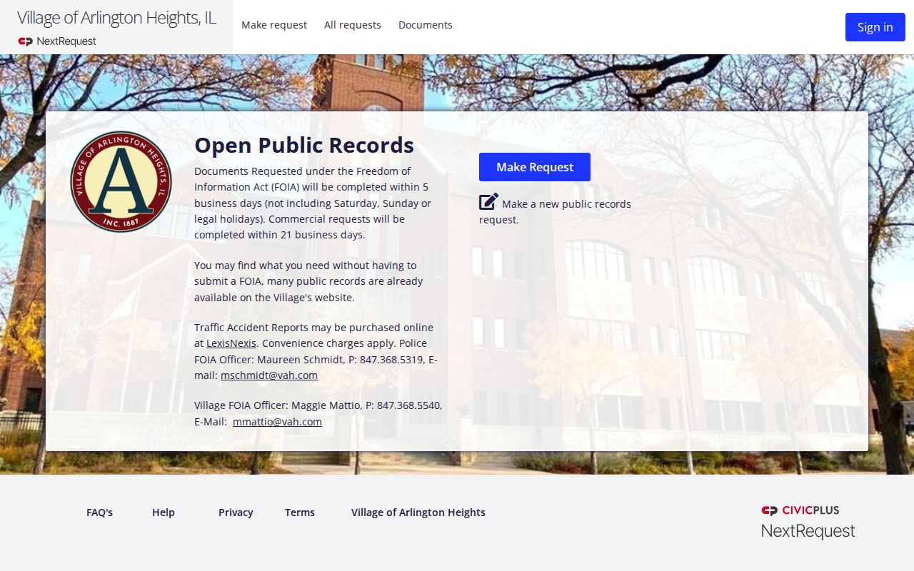
A returned map should be dated and labeled by its actual boundary type.
Count Arlington Heights ZIP Residents
A resident count is meaningful only when its denominator is named. A postal ZIP population, census ZIP Code Tabulation Area, Village population, parcel-centroid count, and voter-file total are not interchangeable. Arlington Heights had a 2020 Village population of 77,676, but that figure cannot be divided among postal codes without a compatible geographic source.
A ZIP Code Tabulation Area is a Census Bureau approximation created for statistics. It is not the live USPS delivery system. A parcel method answers yet another question because a parcel centroid, the calculated center point of a lot, can fall on one side of a line while part of the property crosses it. Before comparing totals, require the same year, geographic unit, and population definition. If those three do not match, present the figures separately instead of calculating a misleading share.
Write the boundary, source date, and unit next to every count. If a total is based on parcels, say parcels. If it uses a census approximation of mail geography, name that geography. This small practice keeps a ZIP code directory from presenting a neat but unsupported number.
Note: USPS scheme labels organize mail, so they cannot supply a Village population or a current list of Arlington Heights residents.
Arlington Heights ZIP Limits
For one address, use USPS for the delivery label, the Cook Property Tax Portal for its PIN, CookViewer for parcel geometry, and the Village map for corporate limits. That four-part check respects what each source measures. The strong 60004 brand cue still does not create legal residency, and 60008's appearance in a processing group does not pull Rolling Meadows parcels into Arlington Heights.
- ZIP versus ZIP+4
- A five-digit delivery area versus a more exact four-digit add-on for a segment or destination.
- PO-box ZIP
- A code used wholly or partly for post-office boxes rather than normal street delivery.
- Unique ZIP
- A code assigned to one high-volume organization or destination.
- Carrier route
- A postal delivery path within a ZIP, not a city or neighborhood boundary.
Historic directories may say only Arlington Heights. In that case, pair the old name and address with period maps, then test the modern label without silently rewriting the old jurisdiction. Postal, parcel, Village, and census geography can all be correct at once.