
Arlington Heights Address History Sources
No single roll names every person who occupied a local home. County land records follow recorded interests, while a directory takes a dated snapshot of names and addresses. A census may reveal a whole household, but only in a year open to the public. The best search for previous residents uses the source closest to the period, then checks it against a second record.
| Source | Years It Covers | Where Held | What It Shows |
|---|---|---|---|
| Cook Clerk recordings index | Banner through August 6, 2026; samples reach 1987 | Clerk Recordings System and office | Document type, parties, PIN, and dates |
| Arlington Heights directories | 1930, 1935, 1939, 1943, 1966 to 1971 | AHML local history | Person, business, and street entries |
| Haines criss-cross | 1979 to present in dated inventory | AHML Shackley Room | Address-to-name snapshots |
| Federal census | Public through 1950 | NARA and library databases | Households and census geography |
| Historic maps and plats | 1854, 1874, 1875, and later | AHML, Village, county | Lots, structures, and old labels |
| Permits and inspections | Online start not established | Civic Access or Village FOIA | Address-linked work and applicants |
A recent search begins online. Older Arlington Heights address history often ends at a library desk, archive, or county office because no complete online deed-index start date was published.
Walk Arlington Heights Deeds Backward
Begin with the current PIN, the parcel identification number used across Cook County systems. The Cook County Assessor address search links an address to that key. Carry the PIN into the Cook County Clerk Recordings System. A deed is an event in the chain, not proof that each named person occupied the home.
- Confirm the current address and PIN, then save the legal description.
- Find the current purchase deed and note its number, type, execution date, recording date, grantor, and grantee.
- Search the seller as a grantee to locate that party's earlier purchase. Match the PIN or legal description.
- Repeat backward. Record gaps, trusts, estates, parcel splits, and changed descriptions instead of guessing.
- When the web index stops, ask Clerk Recordings about older books, images, and certified copies.
- Grantor and grantee
- The grantor transfers an interest; the grantee receives it.
- Chain of title
- The ordered sequence of recorded interests affecting a parcel.
- Legal description
- Lot, block, subdivision, or survey wording that survives a changed street label.
- Execution date
- The signing date, which may differ from the recording date.
Cook County moved Recorder operations to the Clerk on December 7, 2020. Older references still say Recorder of Deeds. The records did not vanish with the office name, but the present search and request route belongs to Clerk Recordings.
AHML Tracks Previous Residents
The Arlington Heights Memorial Library house-history guide joins sources that county portals keep apart. It points to criss-cross directories, telephone books, subdivision volumes, maps, newspapers, local files, and deed leads. The Shackley Room inventory includes two subdivision volumes covering 1883 through 1960 and Haines near-north suburban directories beginning in 1979.
The library page below shows the local route built for Arlington Heights homes.
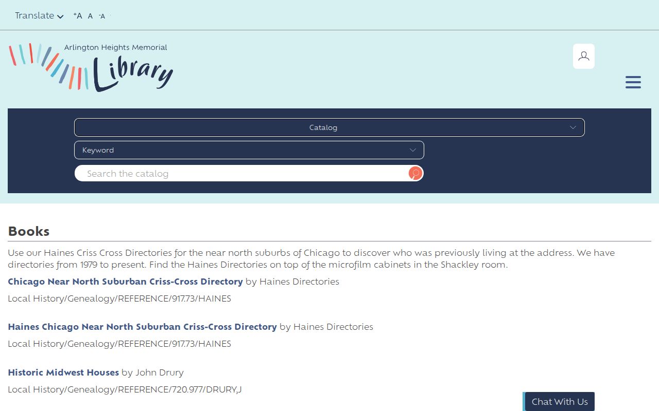
Its grouped sources help separate a parcel's legal history from the past residents named in a dated directory or newspaper.
The older holdings list is useful but dated. Confirm an item's location and access terms with AHML. The Arlington Heights city directory page covers the collections themselves; an address search uses only editions needed to bridge a deed or census gap.
1939 Arlington Heights Streets First
The digitized 1939 Arlington Heights Municipal Directory is useful for previous residents because its street guide and street-location pages precede the alphabetical entries. The 123-page scan also contains historic data, churches, groups, officials, residents, and businesses. That order lets a researcher normalize an old address before attaching a name to it.
Use the Illinois Digital Archives directory record to inspect each page. Record the page identifier with a finding. Search Dunton, Arlington, and Arlington Heights as place-name variants because the settlement's name changed. A listing proves that a name was printed at an address in that edition. It does not prove ownership or a full-year stay.
Pair Arlington Heights Household Years
Owners are only one part of the story. Criss-cross and phone directories can name subscribers or householders at an address, including some people who did not own the parcel. Public census schedules may show more household members. Newspapers and obituaries can explain a move, death, family tie, or business use, but each item needs a date and title.
- Choose directory editions just before and after the deed event.
- Search the exact street, direction, and number, then check nearby numbers for a possible change.
- Compare the directory household with the nearest public census year while retaining its old geographic label.
- Use AHML newspaper and obituary sources to test dates and relationships.
- Mark each result as listed, recorded, enumerated, or reported so the evidence stays distinct.
The 72-year rule makes federal schedules through 1950 public. Cook genealogy copies have different gates: birth older than 75 years, death older than 20, and marriage older than 50 may qualify as non-certified genealogy copies. State archival inspection thresholds are not the same.
Map Arlington Heights Past Residents
The Village preservation report points to an 1854 William Dunton map, 1874 structure locations, and an 1875 ownership and early-blocks map. Sanborn fire-insurance volumes dated 1894, 1905, and 1924 through July 1950 list Arlington Heights within larger Cook County scan runs. Each sheet must be checked; not every parcel appears in each volume.
Maps can show why the physical clue changed. A building may have been replaced, a lot split, or a street extended. Cook GIS returned 516 Arlington-matching incorporation and annexation rows, beginning with the 1887 incorporation and continuing through later actions. That trail can explain why an old deed or census uses a township or unincorporated label for land now in Arlington Heights.
The current Village numbering rule provides another test. Campbell Street is the baseline for north-south numbers, and Dunton Avenue is the baseline for east-west numbers. The system assigns 800 numbers per mile, with different odd and even sides. Research found no verified citywide renumbering year, so an old number should be compared with the printed directory street guide, a period map, and current CookViewer geometry. A mismatch is evidence to investigate, not a reason to silently convert the address.
Note: Preserve the jurisdiction printed on an old record, then explain how later annexation connects it to today's Arlington Heights address.
Cook County's Missing Record Years
No early hit may reflect record loss. The Illinois State Archives guide documents total Cook County record loss from 1831 through 1871 after the Chicago fire. The gap is not proof that a family or property event never happened.
Shift to newspapers, church and cemetery sources, maps, later deeds that recite earlier interests, probate indexes, and the Illinois Regional Archives Depository. The Cook County IRAD guide explains custody. The Illinois State Library also lists census, county history, atlas, plat, and Sanborn sources through library and in-person routes.
Arlington Heights Permits Fill Gaps
Building and inspection files can place an owner, applicant, project, or structure change at an address. Research did not establish a complete historical start date in Civic Access. Search current records first, then use the Village FOIA process for a focused request that names the address, type, and date range.
A permit is not an occupant roll. It can still explain why directory listings stop, why a structure changes on a later map, or when land was redeveloped. Keep filed and issued dates apart from deed recording dates and tax years.
Use Arlington Heights History Carefully
Finish with a dated log of each source, search term, page, PIN, and conflict. Distinguish an owner named in a deed from previous residents listed at the address. Trusts, estates, liens, and corporate parties may interrupt a simple chain. A formal title question requires the Clerk record or qualified review.
Lawful use. Research previous residents for house history, family history, heirs, or civic study. Never use an address trail to watch, harass, intimidate, or locate a protected person.
The Illinois Address Confidentiality Program gives substitute addresses to eligible survivors. Do not reconstruct an underlying location from voter, deed, permit, or neighborhood clues. A careful Arlington Heights address history leaves protected and unsupported details out.